

Mapping and Survey course
Learn aerial mapping techniques, coordinate systems, photogrammetry, and post-processing for professional surveying tasks.
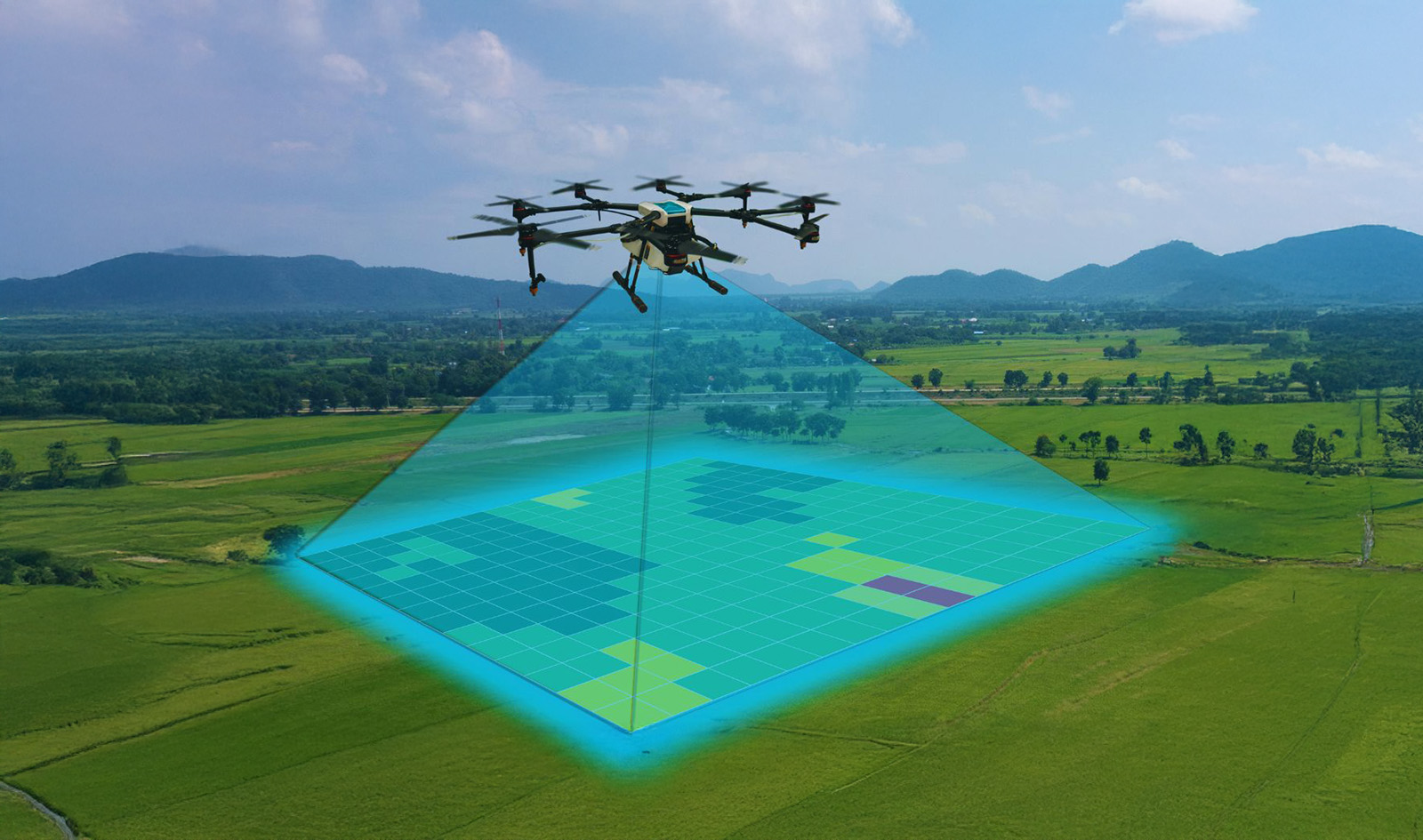
Professional Aerial Mapping & Photogrammetry Skills
Course Overview
This program teaches aerial mapping techniques, coordinate systems, photogrammetry, and post-processing workflows to prepare participants for professional surveying tasks. Designed for individuals aiming to master the use of DJI Enterprise Drones and their payloads, the course focuses on achieving precise, efficient, and high-quality mapping results.
Participants will gain hands-on experience in advanced mission planning, data collection best practices, and data processing techniques—ensuring they can deliver accurate, actionable survey outputs across various industries.
What You Will Learn
- Comprehensive overview of DJI Enterprise drone line-up
- Flight planning with the DJI Pilot App
- Understanding different mission types (grid, corridor, terrain-follow, etc.)
- Maximizing D-RTK Ground Station usage for centimeter-level accuracy
- Data collection best practices for consistency and quality
- Creating precise 2D maps and 3D models using photogrammetry software
Key Applications
- Land Survey – Accurate terrain mapping for planning and development
- Construction – Site progress monitoring, volumetric analysis, and compliance checks
- Mining – Stockpile measurement, blast planning, and environmental monitoring